Services
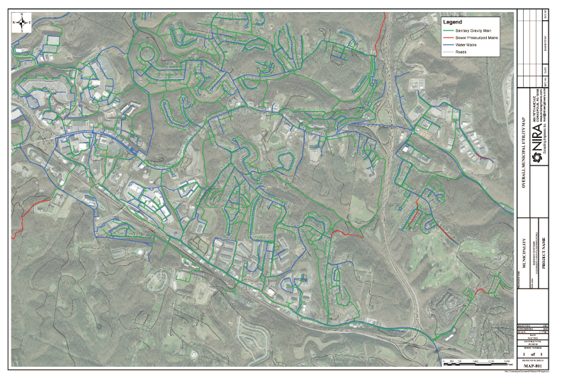
In the fields of Traditional Land Survey and Geographic Information Systems (GIS) Mapping Development, NIRA Consulting Engineers, Inc. maintains innovative equipment and techniques to provide our clients with the most precise and practical finished products for their project. From completion of a single, residential lot survey, to the development of a formal commercial Land Subdivision, to the production of GIS Mapping with integrated inspection data, NIRA will work with clients to refine their needs. NIRA’s vast knowledge and attention to detail ensures that a final deliverable product is prepared to their specifications.
Boundary
Subdivision
Topography
Construction
Geodetic Control
Photogrammetric Mapping Control
Global Positioning System (GPS)
Hazardous Site
Environmental
Deformation
Flood Elevation Certificates
Easement Plans
Right-of-way Dedication/Vacation Plans
NIRA Consulting Engineers, Inc.
950 Fifth Avenue, Coraopolis, PA 15108
412.262.3970


